
Tracing a Trumbull County Street
A street-by-street inquiry begins with the exact printed address in Trumbull County Auditor Property Search. Select the parcel by comparing its situs and legal description, then retain the PIN, parcel ID, owner or deeded-owner field, current deed reference, subdivision, and mailing field. The owner mailing field and the physical situs are different county fields. That distinction keeps an address search from turning a mailing clue into a claim of residence.
Next, open the parcel in GIS and inspect the contiguous parcel polygons. The final stage is the Recorder, where a known deed reference, party, legal description, or subdivision term retrieves the recorded document. A historic directory can then supply a dated listed association for the address.
- Enter the known address in the Trumbull County Auditor Property Search and confirm the parcel’s situs and legal description.
- Record the PIN, parcel, subdivision, deed or instrument reference, and current deeded-owner wording.
- Use the GIS/Tax Map to click the target parcel and contiguous parcels along the street segment.
- Search the Recorder by the documented instrument, party, or legal term, then compare the recorded transfer’s legal description.
- For an earlier address association, ask WTCPL about the Haines criss-cross, Burch, or Polk directory run for the right year and community.
Trumbull County Street Parcel Records
The Auditor property gateway explicitly offers Parcel, Owner, and Address entry. A Trumbull County parcel record can connect a street location with a parcel ID, legal description, situs components, deeded-owner field, owner and taxpayer mailing data, valuation, tax status, sales, and deed references. The Treasurer directs users to the same property search by name, address, or parcel number, then to the selected parcel’s Tax Bill or Tax tab. A street directory built from those fields describes property evidence, not the residents of every structure.
The Treasurer’s tax-information instructions confirm the name, address, and parcel path through the Trumbull County property system.
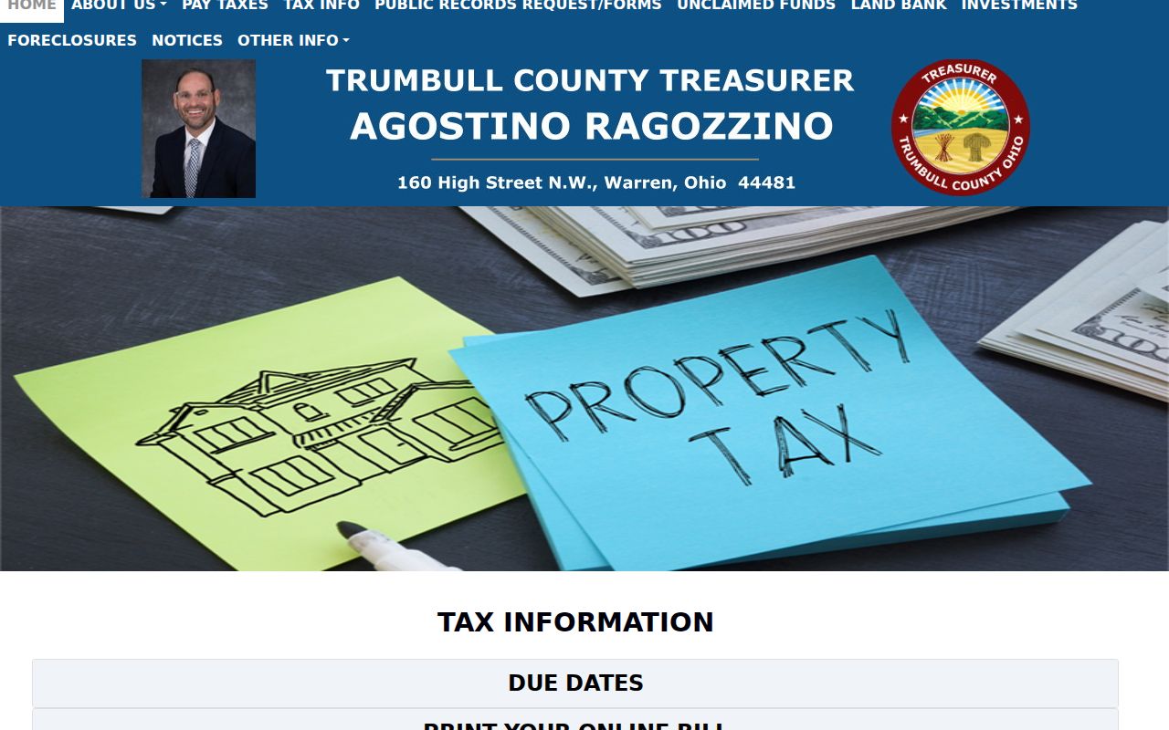
That Trumbull County route supplies a parcel context for the tax bill, then the recorded document trail, rather than a simple street roster.
- Parcel
- A county-defined piece of land or a property-record unit, usually identified by a PIN or parcel ID.
- Situs address
- The physical location of a Trumbull County parcel.
- Plat
- A recorded map showing lots, blocks, or subdivisions; it can connect a street address with legal land terms.
- Criss-cross directory
- A reverse-format directory that begins with an address and gives a listed association for its publication year.
Walking Trumbull County Parcels
The county GIS step is map browse and click. Open the target parcel, pan along the Trumbull County street, and click each contiguous polygon. Record the parcel ID, situs, legal description, deeded-owner field, mailing field, and instrument clues for each property you need to compare. The direct county method is contiguous-polygon inspection. No verified hosted-viewer buffer or radius control was available during research, so a street directory should not claim a named radius feature.
The Trumbull County GIS/Tax Map page describes the county map service and address-update role.
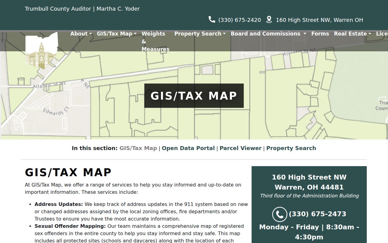
The map is useful for locating adjacent Trumbull County parcels and their record identifiers, but county map boundaries are approximate and do not replace a survey.
Maps can also help distinguish a street with the same name in a different township or municipality. Preserve the city or township label along with the street name before following a parcel trail backward.
Trumbull County Address Records
Several Trumbull County records are address-related, but each has a different access path. The Auditor connects an address to a current parcel. GIS shows the parcel’s map relationship and field families. Recorder PAXWorld follows parties, instruments, and legal wording rather than street text. Permits can support a project date when the file is already identified, but the observed Warren web form requires a permit number. Voter records can support an individual registration check within state law; they are not an unrestricted street list.
| Address evidence | Trumbull County path | What it shows | Access limit |
|---|---|---|---|
| Auditor property record | Parcel, Owner, or Address | Parcel, situs, mailing, tax, owner, and deed-reference context. | Not a household list. |
| GIS parcel map | Map click and contiguous polygons | Geometry, legal, owner, situs, and parcel data. | Boundary depiction is approximate. |
| Recorder index | Instrument, name, legal, or subdivision | Parties, role, document, date, legal reference, image. | Not direct street-address search. |
| Permit or inspection file | Known permit, counter, or form | Project or inspection detail after a file is identified. | No verified address-history browser. |
| Historic directory | WTCPL or OGS collection | Listed street association in an edition year. | Historical and edition-specific. |
For a personal-name question, use the Trumbull County resident lookup workflow after the street trail yields a record identifier.
Trumbull County Recorder Deeds
Recorder PAXWorld turns a parcel reference into a transfer trail. Search a known instrument directly, or use the current owner, prior party, subdivision, or legal description. Read the grantor and grantee roles, document type, recording date, short legal description, consideration, and linked image. To move backward, identify the seller from the current transfer, search that person as a prior grantee, and compare the lot, subdivision, or legal description. A matching surname alone is not enough to keep a Trumbull County street trail on the same property.
The Recorder FAQ explains the public access, older records, and copy practices for Trumbull County land documents.
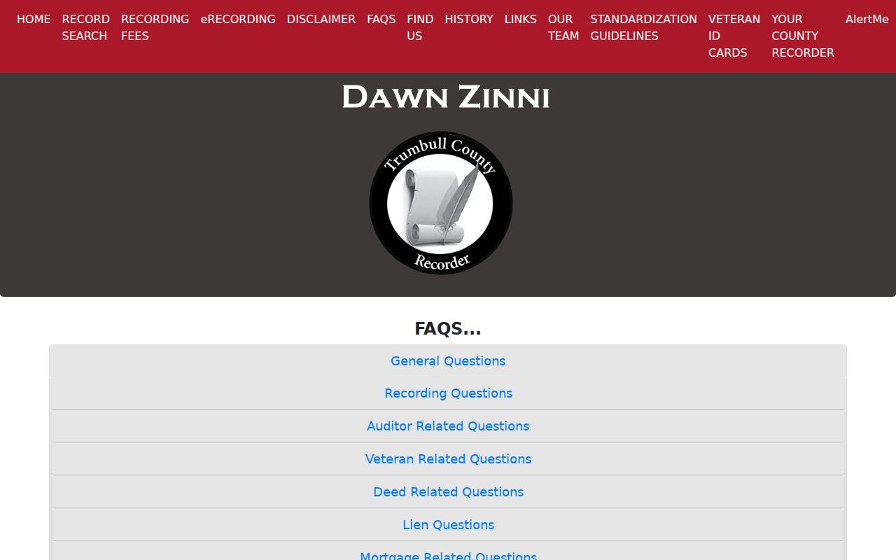
Recorder staff do not conduct title searches, so a Trumbull County searcher must retain the legal and instrument details that identify the correct chain.
| PAXWorld field or mode | Street-directory use |
|---|---|
| Last name or organization | Required search text with Like, Contains, or Is comparisons. |
| First name and second first name | Optional party refinements, with an Or option for the second name. |
| Recorded within | Optional date range, including Today and Yesterday shortcuts. |
| Subdivision and legal filter | Optional narrowing terms drawn from the parcel record. |
| Instrument, book, or page | Known-reference search for an identified transfer. |
| Category and document type | Deeds, mortgages, liens, plats, leases, easements, land contracts, and related recorded classes. |
Trumbull County Street Map Limits
A parcel map is a powerful Trumbull County street directory tool, but it is not a survey and it is not a complete list of people at an address. GIS says its maps approximate boundaries and that a surveyor determines physical pins. A recorded owner, tax mailing address, or parcel geometry can identify an official property context. None alone proves occupancy. Keep the source purpose in view, especially on a block where similar lot descriptions or older address labels can look deceptively close.
Use the map for parcel relationships, then compare the Recorder’s legal wording and documented deed reference. Survey questions need a qualified survey result, not an online Trumbull County map screen.
Trumbull County Address Changes
New or changed Trumbull County addresses are assigned by local zoning offices. Where no local zoning exists, the local fire department or trustees may assign the address, and GIS then updates the county 911 system. That local chain explains why a historic address can require the township, city, old subdivision, or legal description before it maps cleanly to a current parcel. Do not assume that one documented Warren address conversion created a countywide street-renumbering rule.
WTCPL records an individual 1900–01 location later converted from 106 to 245 Tod Avenue. That is an address-continuity clue, not a universal formula. A Trumbull County street search should retain each old number exactly as printed and test it against directory, map, plat, deed, and parcel evidence.
Historic Trumbull County Streets
Modern parcel systems do not replace historical street sources. The documented 1997 Youngstown–Warren–Niles City and Suburban Criss + Cross Directory uses an address-to-listed-name format. Burch directories cover regional combinations of Warren, Niles, Girard, Newton Falls, McDonald, and Cortland between 1930 and 1978, while Polk issued later Warren volumes from 1989 through 1996. Search the community name used by the edition, not just the word Warren, and pair any listing with a map, census, recorded document, or obituary.
WTCPL’s Local History & Genealogy Center and the Ohio Genealogical Society accession list are the documented sources for these Trumbull County directory leads. A historic directory gives a listed association at publication time, not every occupant. The fuller shelf and entry-reading detail is available through the Trumbull County city directory page.
Trumbull County Street Permits
Permit material can date a project once a file is known. Warren’s observed online permit path requires a permit number. County Building Inspection has a form that includes project address, township, permit number, and inspection details, but research did not establish a public address-history interface. That makes permits supporting evidence in a Trumbull County street directory search, not a browseable list of properties.
The Warren permits and fees overview is the local city access point.
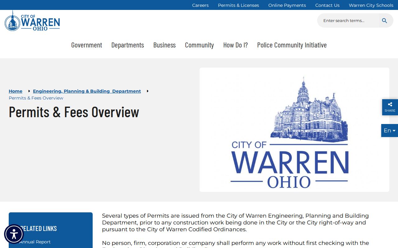
Use the Trumbull County parcel, recorded deed reference, or a known permit number before asking a building office to locate a particular record.
Trumbull County Street Gaps
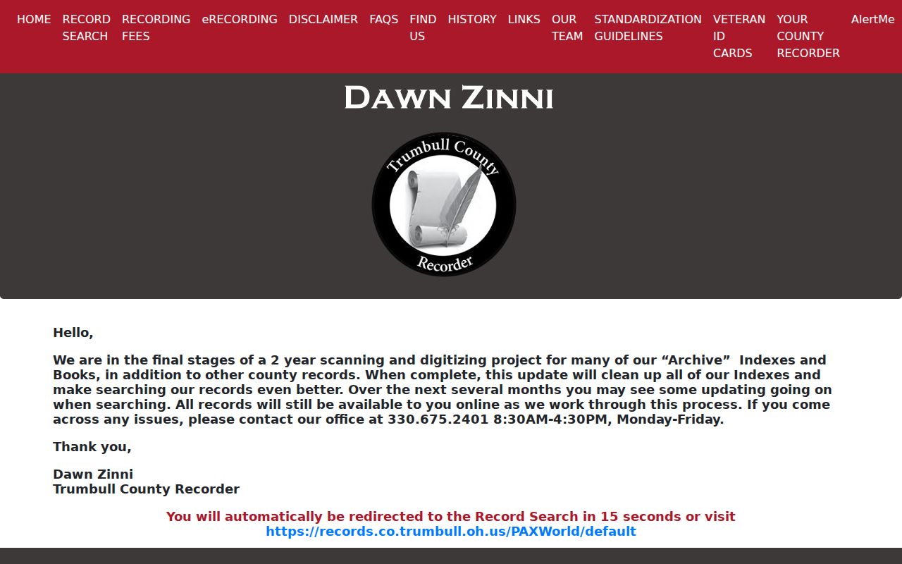
The Recorder FAQ says public data and images, except military discharges, reach 1795. PAXWorld separately labels documents online from 1980. Treat that as a Trumbull County access caveat, not a single online cutoff. The county’s current update says archive indexes and books are being scanned and cleaned while records remain online. If an older display looks incomplete or category behavior changes, preserve the instrument, book, page, party, and legal wording, then contact the Recorder or Archives.
The Recorder digitization update describes this active cleanup work.
For a historic Trumbull County street record not visible online, the next channels are the Recorder counter, County Archives, and browsable FamilySearch courthouse images.
Trumbull County Street Privacy
A Trumbull County street lookup has clear boundaries. Parcel records do not catalogue every household member. DMV information is restricted, utility-customer data is not a general public list, and Safe at Home or protected voter information stays out of public access. A county map can show adjacent parcels, while voter resources operate under a separate individual and public-record framework. Those tools are not interchangeable.
Use address records lawfully. Do not use a Trumbull County street directory, parcel map, or historic listing to stalk, harass, threaten, or harm a person.
A defined request, counter review, or library consultation is the appropriate way to resolve a record gap. It is never appropriate to seek protected information or turn a property trail into a household claim.