
Trumbull County Neighbor Record Sources
A Trumbull County neighbor search is most accurate when it begins with parcel relationships, not with a name list. The Auditor and GIS records can establish the target parcel, contiguous parcels, owner fields, legal descriptions, and deed clues for a Trumbull County block. The Recorder then answers a different question: which parties appear in a recorded transfer or other instrument. Voter resources have statutory access limits, while a historic atlas, directory, or local collection can show a past association at a given time. Each source has a narrow purpose.
| Block Source | What It Shows About a Block | Access |
|---|---|---|
| County GIS parcels | Contiguous parcel shapes, situs, legal and owner-related fields | Map browse and parcel click; not an occupant list |
| Auditor Property Search | Current parcel, tax, mailing, and deed-reference clues | Parcel, Owner, or Address search |
| Recorder PAXWorld | Party, transfer date, instrument type, and legal trail | Name, legal, or instrument index; not block-address mode |
| Ohio voter resources | Public registration or precinct information where permitted | Confidential and protected material stays excluded |
| Atlas, directories, and local collections | Historic block change or listed association in its own era | Library or archive research, not current membership |
Owner, taxpayer, and mailing fields should not be converted into a claim about every person who lives near a Trumbull County parcel. An owner may not occupy the situs address, and a mailing address is where tax correspondence goes. The useful result is a documented set of neighboring parcels that can be checked against their own dates and legal descriptions.
Trumbull County Neighbor Parcel Boundaries
The Trumbull County parcel layer separates several facts that are easy to blur in a neighbor lookup. A situs is the physical location of the parcel. The owner or taxpayer mailing address is the address used for correspondence. A legal description is the lot, block, subdivision, or metes-and-bounds language that ties the parcel to deeds. The authoritative parcel layer also contains PIN and parcel identifiers, owner components, tax and sale data, deed volume or instrument references, and zoning or subdivision fields. These distinctions make a block search more reliable than a plain street-name match.
Trumbull County says its map boundaries are approximate. They are useful for identifying neighboring parcel records, not for deciding an actual boundary line or pin location. Address updates flow into the county 911 system after local zoning offices, or in some places fire departments or trustees, assign an address. Retain the township or city label with the parcel ID when an older address looks different from a current one.
Mapping Trumbull County Neighbor Parcels
The documented county method is direct adjacency. Locate the target property in the Auditor system or GIS map, then pan and click the polygons that share its block edge. No verified hosted-viewer radius or buffer control was available during research, so a neighbor search should not claim one. Record each parcel separately and compare the displayed situs, owner or deeded-owner field, owner mailing field, legal description, parcel ID, and instrument clue. The map establishes relationships among parcels, not a census of Trumbull County neighbors.
The county tax-parcel GIS layer is the record source behind this parcel-by-parcel method.
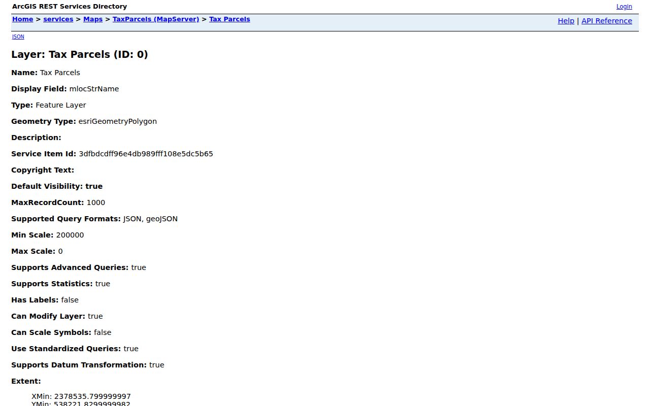
Read each surrounding Trumbull County polygon as its own record. A shared street or close map position does not turn a list of parcels into a list of residents.
- Find the target by address, owner, or parcel, then confirm the correct situs and legal description.
- Open the mapped parcel and write down its PIN, deed reference, and owner-related fields.
- Pan to each contiguous parcel and repeat the same record check, keeping parcel IDs with their displayed situs strings.
- Use a deed or transfer reference in PAXWorld only after the parcel conversion, and compare the legal description before joining records.
For a full named-street record chain rather than the immediate block, use the Trumbull County streets directory. The street process follows address, parcel, and deed records across a longer corridor.
Trumbull County Voter Boundaries
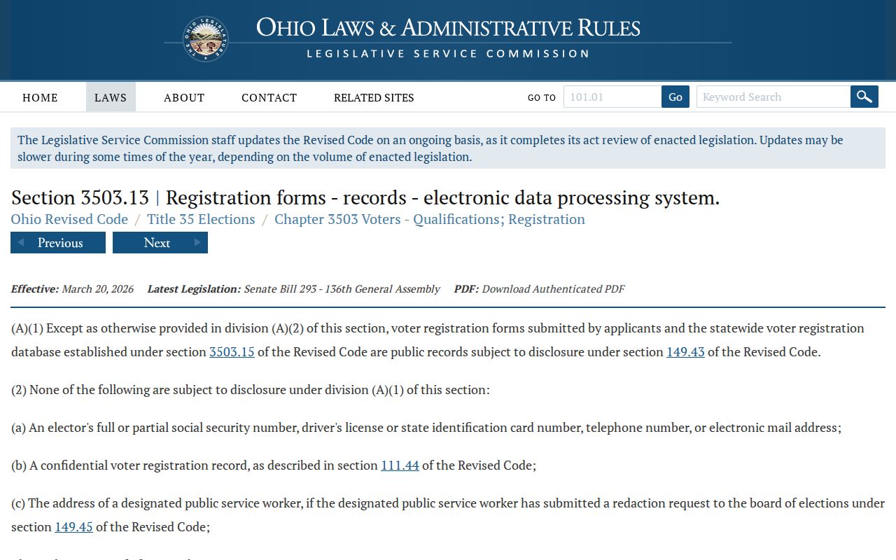
Voter information is not a casual Trumbull County block roster. Ohio Revised Code 3503.13 makes registration records public subject to key exclusions, including Social Security numbers, driver or state ID numbers, phone and email information, confidential records, protected addresses, and citizenship proof. ORC 3503.153 describes public website fields where a record is not confidential, including name, birth date, current residence, precinct, registration date, participation history, and last activity. Participation history means elections in which a person took part, not ballot selections.
Ohio's voter-registration disclosure law is the starting point for those boundaries.
An individual voter search uses first name, last name, and county for Trumbull County registration and precinct tasks. Public DATA Act county snapshots are dated records, and a Board may allow defined precinct-list inspection under the applicable rules. Neither route should be presented as proof of all people at nearby addresses.
Note: The Board of Elections may restrict precinct-list copying around an election when copying would interfere with election work.
Trumbull County Neighbor Transfer History
Recorded Trumbull County transfers can explain why nearby owner fields changed, but they begin after the address has been converted to a parcel and legal description. Take the selected parcel's instrument number, deed volume and page, subdivision, or legal terms into PAXWorld. Read the grantor and grantee roles, recording date, document type, short legal description, and linked image where available. If the current transfer identifies a seller, search that person as a prior grantee and compare the lot or subdivision terms before moving back another step.
PAXWorld's online label says documents are available from 1980, while the Recorder FAQ says its data and images reach 1795 except military discharges. Treat that difference as an access check, not as a uniform online coverage claim. When an older image is unclear or absent, the Recorder counter, County Archives, and FamilySearch courthouse images are the appropriate historic fallbacks. A transfer party remains a recorded-document party, not automatic proof of a current occupant.
Trumbull County Historic Block Clues
The 1918 Atlas of the Ten Lower Townships at WTCPL can connect Trumbull County historic plats, township names, and Warren plates with a parcel's legal description. It includes mapped material for communities such as Hubbard, Liberty and Girard, Weathersfield, Niles, Lordstown and Newton Falls, Vienna and Howland, Brookfield, Braceville and Warren Township. This is useful when a block's older subdivision or place label does not match a current postal address. It is not a present neighbor directory.
Historic Trumbull County city directories and the 1997 Haines regional criss-cross directory can add a listed address association for their publication year. Trumbull Memory searches by location, subject, year, or name, and the Historical Society CatalogIt database has person, date, place, and tag search fields. Use those sources to place an old block in time, then compare an atlas, directory, deed, census, or obituary rather than relying on one item alone.
Trumbull County Community Contacts
Trumbull County community sources can help locate public historical material or a published organization contact. They are not a shortcut to current HOA, association, congregation, or block-watch rosters. Research found no authoritative countywide neighborhood-association membership directory. Use a group contact only when that group has chosen to publish it, and do not infer a person's current residence or membership from an organization listing.
| Public Resource | Contact or Search Route | Appropriate Block Use |
|---|---|---|
| WTCPL Local History & Genealogy Center | 444 Mahoning Avenue NW, Warren; 330-399-8807 ext. 202 | Maps, directories, newspapers, and targeted historic research. |
| Trumbull County Historical Society | 328 Mahoning Avenue NW, Warren; 330-394-4653 | CatalogIt place/date searches and collection appointments. |
| Ohio Memory TCHS collection | Online collection of Trumbull and Connecticut Western Reserve items | Historical documents and photographs with source context. |
| Youngstown/Warren Regional Chamber | Public organization member directory | Voluntary organization affiliation, not a residential or member roster. |
The Regional Chamber directory is a public organization search with voluntary member listings.
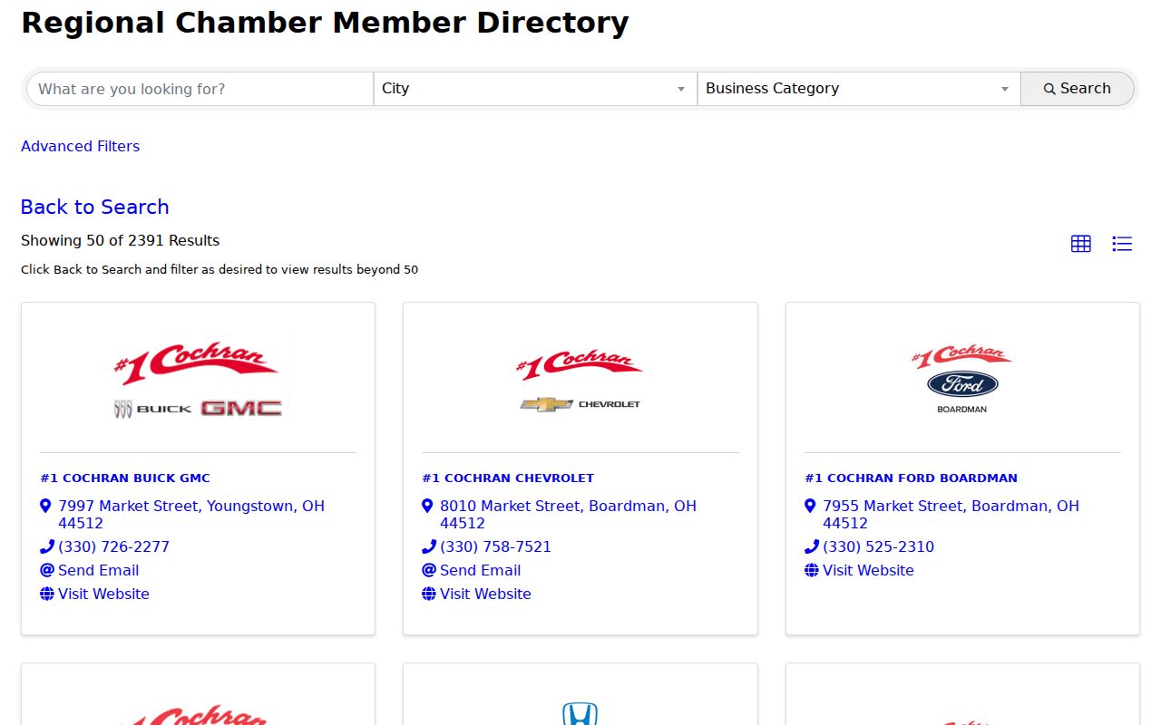
The directory's organization names, addresses, categories, and contacts can help identify a public group. Membership is voluntary, and an organization address is not evidence that an individual resides there.
Trumbull County Neighbor Source Comparison
Official records and commercial neighbor-search categories answer different questions. The Trumbull County parcel map is useful because it identifies the public parcel relationship and its own owner-related fields. A commercial category may combine public and private feeds, but its completeness, timing, and matching method are not a substitute for the agency that holds an original record. When a result matters, retain the parcel, instrument, or case identifier and verify it with the appropriate custodian.
| Source Category | Best Use | Important Limit |
|---|---|---|
| Official GIS and property roll | Adjacent parcels, situs, legal descriptions, and owner-related fields | Does not establish occupants or every household member. |
| Official voter resource | Statutorily public registration or precinct information | Protected and confidential data is excluded; no ballot selections. |
| Commercial neighbor-search category | Possible lead that needs independent checking | Accuracy, update timing, and source scope can vary. |
That difference is important for Trumbull County neighbors: parcel ownership and voter visibility are not interchangeable records. A dated official record is the safer way to test a narrow fact.
Trumbull County Neighbor Privacy Limits
A Trumbull County neighbor lookup has firm limits. Public parcel data does not catalogue renters, unlisted household members, utility customers, or all people who receive mail at a site. Ohio Safe at Home participants may use a substitute address in specified official records. Protected voter information, private contact details, Social Security numbers, and certain court or adoption materials remain restricted. ORC 149.45 also requires public offices to protect Social Security information in Internet records.
If an online Trumbull County public record is wrong, request correction or redaction from the office that holds that record. One request does not automatically change every database. A map, voter record, or historical image should never be used to monitor, confront, or pursue someone.
Lawful use. Use Trumbull County neighbor records for personal, lawful block research, local history, and record verification. Do not use public information to stalk, harass, intimidate, or harm another person.